Hidden Beaches in Culebra
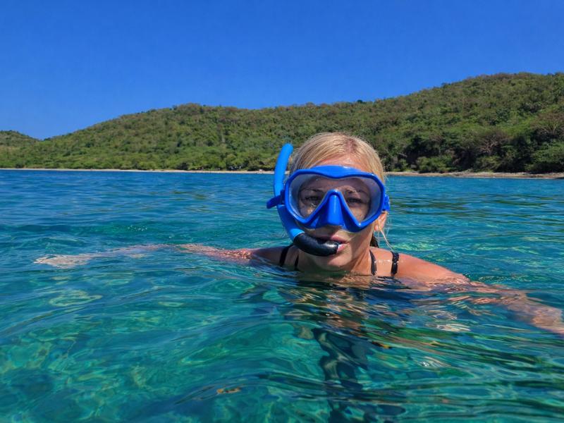
Culebra’s hidden beaches reward adventurous travelers with secluded coves, scenic hikes, excellent snorkeling, and some of the island’s most peaceful coastal landscapes.
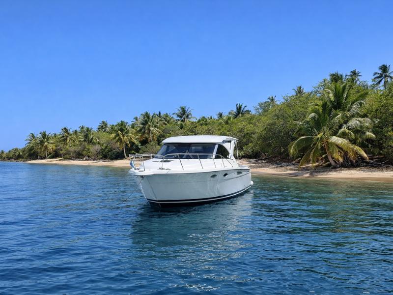
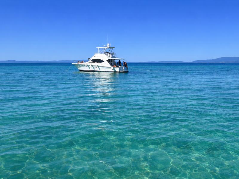
A private boat can reach quieter beach stops while the crew handles the crossing. The hikes and exact coves in this guide remain separate plans. Explore Full Day Private Boat Tour To Culebra
Culebra has five beaches beyond the main six that reward the effort to reach them: Playa Resaca (hardest hike on the island, ~40 min each way, no swimming), Playa Brava (moderate 45-min hike, biggest surf on the island, turtle nesting April-June), Playa Datiles (small sheltered cove, accessible by kayak or short drive, calm snorkeling), Tamarindo Grande (overlooked reserve beach near Flamenco, easy access, turtles and rays), and Punta Soldado (south coast, rough road, excellent beginner snorkeling, best sunsets). A Jeep is required for most. None have facilities. Bring everything including water and reef-safe sunscreen.
Booking Choice: Fajardo marina; return to same marina. Check Dates For The Private Culebra Boat
Culebra Hidden Beaches: Quick Reference
| Playa Resaca | Jeep + steep hike through boulder forest | ~40 min each way | No. Strong currents. | Solitude, photography, adventure hikers |
| Playa Brava | Jeep + moderate downhill hike | ~30-45 min each way | Caution. Biggest surf on island. | Surfers, solitude, dramatic scenery |
| Playa Datiles | Short drive + short walk, or kayak | ~5-10 min walk | Yes. Calm, sheltered cove. | Kayakers, campers, calm snorkeling |
| Tamarindo Grande | Walk from Flamenco lot or boat | ~15-20 min from Flamenco | Yes. Protected reserve water. | Turtles, rays, snorkeling, fewer crowds than Tamarindo |
| Punta Soldado | Jeep on rough road + short walk | ~0.3 miles from parking | Yes. Calm south coast water. | Snorkeling, sunsets, south coast scenery |
Data verified July 2026. Trail conditions vary. Check locally before hiking.
Does Culebra Have Hidden Beaches?
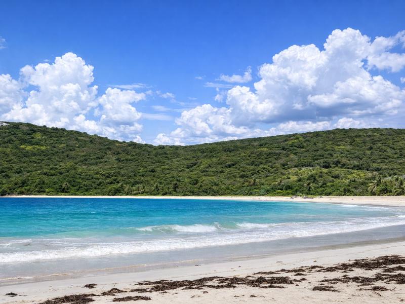
Culebra has five beaches that qualify as genuinely hidden: they require meaningful effort to reach, they have no facilities of any kind, almost no other visitors on most days, and they deliver experiences that the island’s well-known beaches cannot replicate. None of them involve a secret path or insider knowledge. What keeps them hidden is a simple filter: most visitors only have one day, and the logistics of reaching these beaches take more time than a day trip allows. Overnight visitors with a Jeep and a packed bag can reach all five.
The distinction between “less visited” and “hidden” matters here. Tamarindo Beach is less visited than Flamenco and technically has no facilities, but taxis go there, the road is paved, and it appears in every Culebra travel guide. The five beaches covered in this article are different. Playa Resaca and Playa Brava require legitimate hikes on trails that are poorly marked, steep, and physically demanding. Playa Datiles is genuinely hard to find without specific directions. Tamarindo Grande is overlooked because most visitors confuse it with Tamarindo Beach or do not know the trail from Flamenco reaches it. Punta Soldado requires a rough unpaved road that most rental companies prohibit golf carts from using.
What connects all five: you will almost certainly have the beach to yourself. On a typical Tuesday in February, all five of these beaches may have zero other visitors at any point in the day. That kind of solitude does not exist anywhere on Flamenco Beach at any hour. For travelers who came to Culebra specifically to be alone in a beautiful place, these are the beaches that deliver on the island’s original promise.
Practical foundation before any of these: rent a Jeep, not a golf cart. Bring more water than you think you need, minimum two liters per person for any hike. Reef-safe mineral sunscreen only. Closed-toe shoes with grip for the boulder trails. No glass bottles on any beach. Tell someone where you are going before you hike.
We’ve got a full Flamenco Beach guide if you want to know exactly how to get there, what facilities are available, and which parts of the beach are worth seeking out beyond the main stretch.
Playa Resaca: The Hardest Beach to Reach
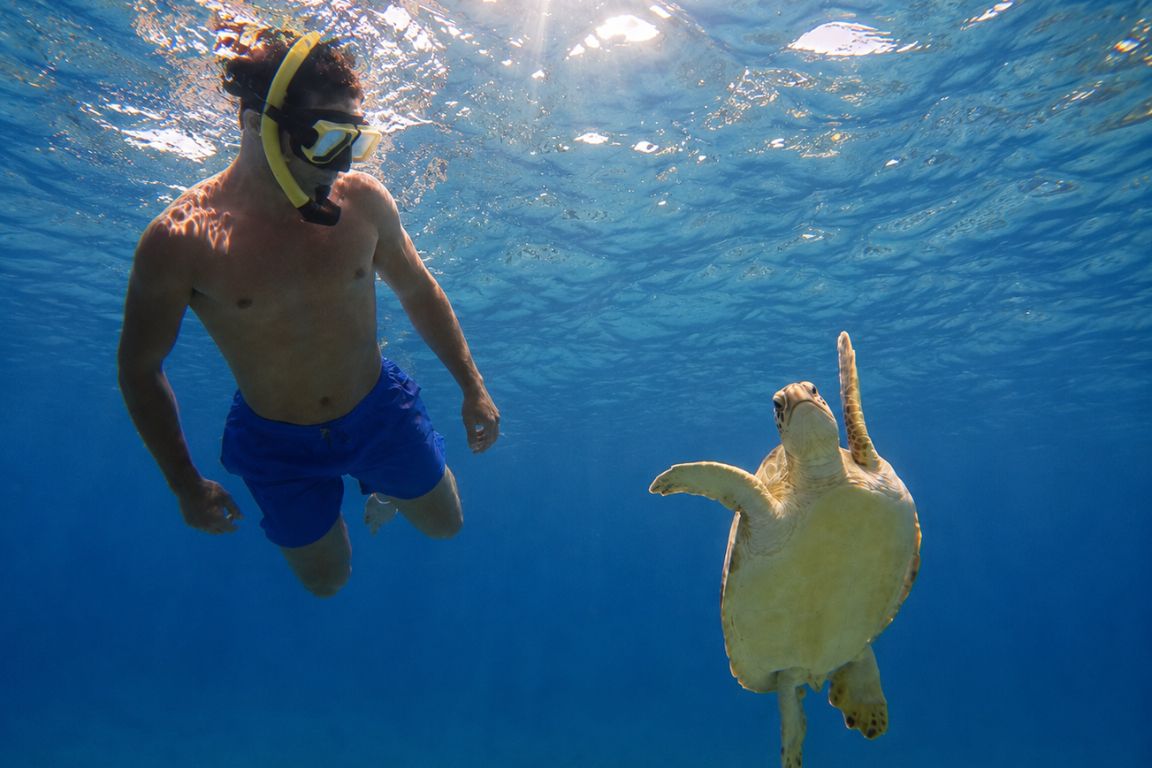
Playa Resaca is the most isolated beach on the island and the hardest to reach, accessible only by a 40-minute downhill hike through the Resaca Boulder Forest, a unique ecological zone on Monte Resaca’s upper slopes characterized by large boulders draped in vegetation. The hike back out is entirely uphill. The beach itself is windswept, wild, and unsafe for swimming due to strong currents. You will almost certainly have it completely to yourself. It is not a beach you go to for swimming; it is a beach you go to for the experience of arriving somewhere few people have been.
The trailhead sits at the end of Calle Resaca, reached by taking Route 250 east from Dewey past the airport and turning north at the first left. Follow the road until it ends at a roundabout. The trail begins with a large rock and a turtle nesting zone sign marking the smaller path. From the roundabout, the descent takes about 40 minutes over loose rock, tree roots, and a mangrove section near the bottom where ad-hoc trail markers (cloth ties, stacked rocks, the occasional ribbon left by previous hikers) guide the route. The trail is not officially maintained. After heavy rain it becomes muddy and significantly harder. Do not attempt this hike in flip-flops or wet conditions.
Monte Resaca is Culebra’s highest point at about 195 meters (640 feet), and the boulder forest on its upper slopes is ecologically rare: large limestone boulders support a distinct flora and fauna including lizard species not found in lower elevations. The descent through this zone is the most visually distinctive part of the hike, passing between boulders the size of small cars that have been colonized by trees growing directly through cracks in the rock.
The beach at the bottom is wide, sandy, and entirely undeveloped. The Atlantic swell arrives unimpeded from the north, producing waves that are the largest on any Culebra beach. Swimming is unsafe: strong undertow (a resaca, which is the Spanish word the beach is named for) and current make the water dangerous even for confident swimmers. The reward is one mile of empty white sand with dramatic wave action, the sense of complete isolation, and the knowledge that you earned your way there. Leatherback turtles nest here; respect any cordoned nest sites.
Leave early in the morning. The hike back up in the midday heat is significantly harder than the descent. Bring at least two liters of water per person, closed shoes with good grip, and sunscreen. Consider bringing a light bag to collect any plastic debris on the beach; it collects here because few people visit regularly enough to keep it clean.
The verified boat itineraries do not include this exact route. Keep the independent access plan for this beach.
Playa Brava: The Surfer’s Beach
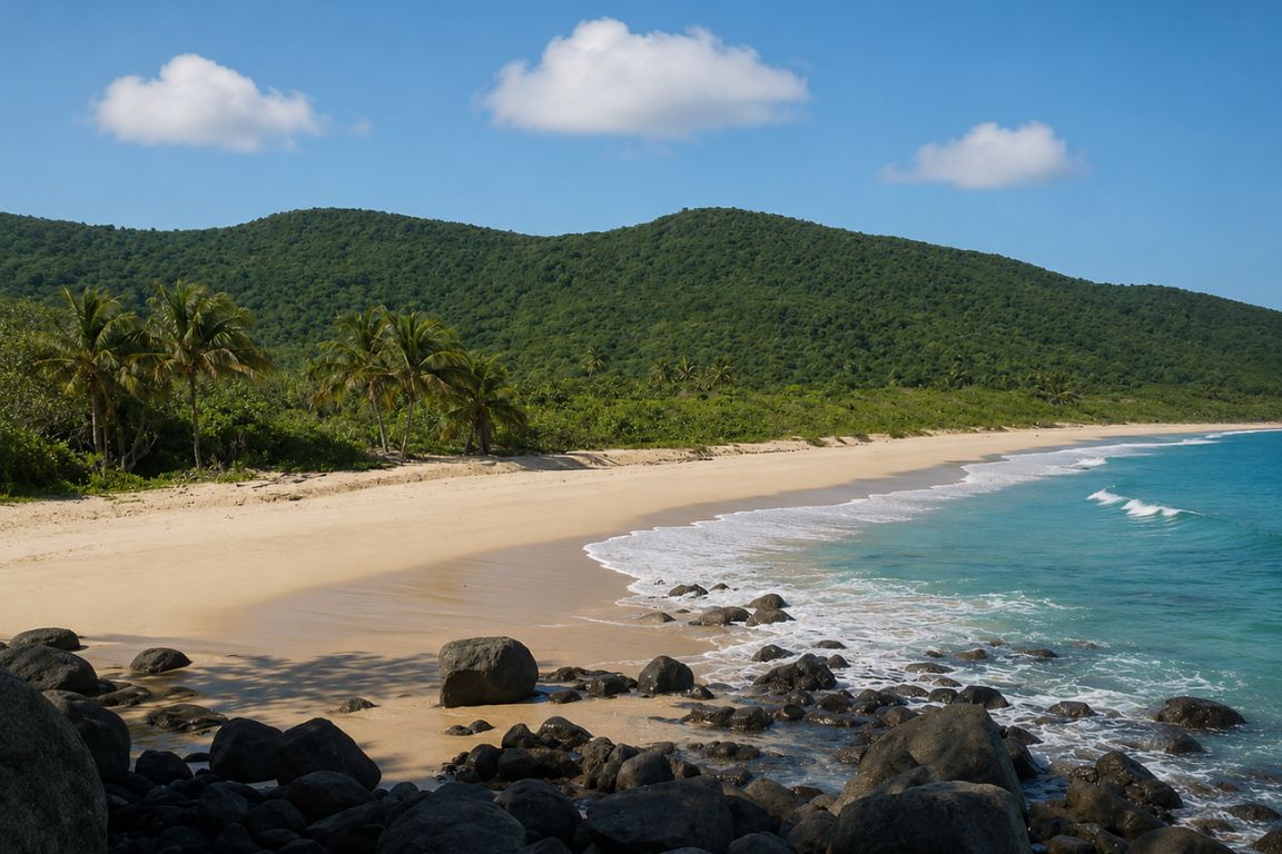
Playa Brava sits on Culebra’s north coast and has the biggest surf on the island. It is accessible by a 30 to 45-minute downhill hike from a trailhead on Route 250 near the Culebra Museum. The waves make it unsuitable for casual swimming but attractive to surfers, who carry boards down the trail specifically for the break here. It is a turtle nesting site from April through June and may be restricted during that period. Outside nesting season it is open, empty, and as dramatic in landscape as any beach on the island.
The trailhead is reached by taking Route 250 east from Dewey and turning at the Culebra Museum (El Polvorín). Follow the road until it ends and park on the roadside without blocking the gates. The hike descends through scrubby coastal vegetation with brief views of the Atlantic before dropping to the beach. The descent is moderate and manageable for most fit hikers; the return uphill in heat requires pacing and adequate water.
Brava’s waves arrive from the open Atlantic without the reef protection that makes Flamenco’s horseshoe calm. On a typical winter day, the surf is genuinely large by Caribbean standards. Surfers in the know have been visiting this beach for years, carrying boards on the hike because the break is worth the effort. On summer days when the Atlantic relaxes, Brava becomes swimmable in spots, but always with more caution than Flamenco or Tamarindo’s protected waters require.
The landscape is spectacular in a way that differs entirely from the western reserve beaches. Brava faces north into the open ocean, which means more wind, bigger sky, and a coastline backed by the forested hills of the wildlife refuge rather than resort development. Bring everything you need for a half-day; there is nothing at the beach.
The verified boat itineraries do not include this exact route. Keep the independent access plan for this beach.
Playa Datiles: The Kayaker’s Cove
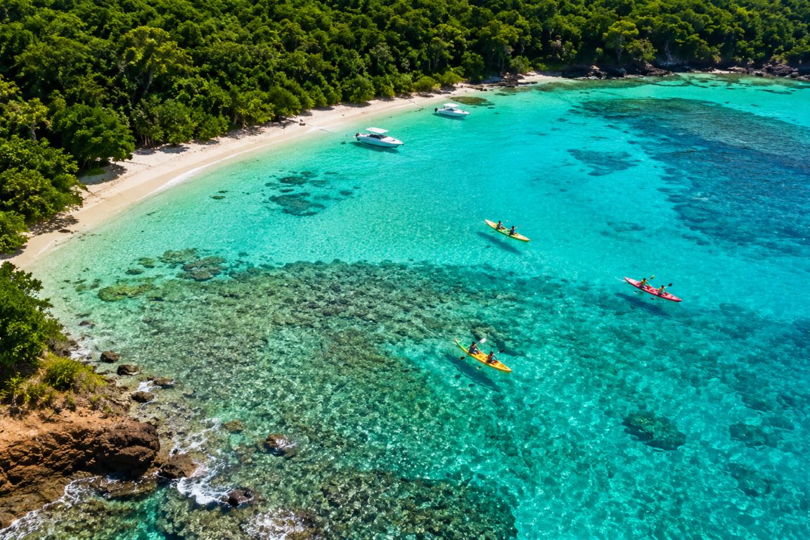
Playa Datiles is a small sheltered cove on Culebra’s southwestern coast within the Luis Peña Channel Natural Reserve, named for the date palms in the area. It is reachable by a short walk from a nearby road or by kayak from Dewey or Tamarindo, and offers some of the calmest, clearest water on the island in a protected bay setting. It is a favorite of local campers and kayakers rather than tourists, which keeps it consistently quiet. The snorkeling is good, the water is flat, and on most days you will have the cove entirely to yourself.
Datiles is genuinely hard to find without specific local knowledge. The cove is tucked between the southwestern headlands and does not appear on most tourist maps of the island. Reaching it by kayak from Dewey or Tamarindo is the most scenic approach and takes 20 to 30 minutes of paddling in protected water. Reaching it by car involves navigating a rough road on the southwest side of the island and then a short walk to the cove. The difficulty of finding it is the primary reason it stays quiet.
The snorkeling at Datiles benefits from the same Luis Peña Channel Natural Reserve protection that makes Tamarindo and Melones exceptional. The reserve’s no-take designation covers this cove, which means fish populations are healthy and wildlife is unafraid. Sea turtles are occasionally seen feeding in the sea grass patches. The water is shallow and calm enough for beginners, and the protected bay keeps the surface flat even when the rest of the island’s western beaches have some chop.
The view of Cayo Luis Peña across the channel is the same one that makes Tamarindo picturesque, but from Datiles you have it without anyone else around. Local campers sometimes set up here for multiple nights. No facilities, no shade structure, no sign at the entry. Pack everything in and pack it all out.
Trying to add an active day to your Culebra itinerary that goes beyond the beach? Here’s kayaking in Culebra tours so you find the right route for your group.
The verified boat itineraries do not include this exact route. Keep the independent access plan for this beach.
Tamarindo Grande: The Forgotten Reserve Beach
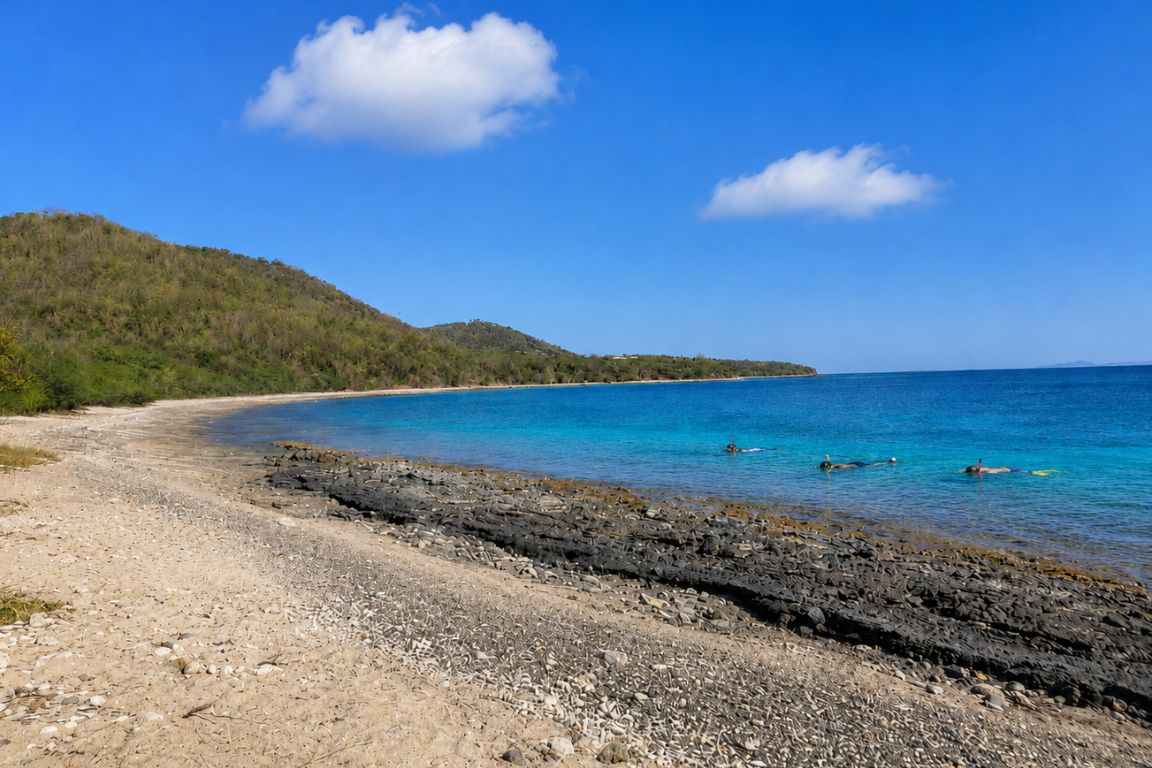
Tamarindo Grande, also called Tamarindo II or the north bay, is a distinct beach from Tamarindo Beach and sits just north of it along the same stretch of coastline. It is part of the Luis Peña Channel Natural Reserve, features ivory sand with polished pebbles, views of Cayo Luis Peña, and good snorkeling with sea turtles and stingrays. Most visitors either do not know it exists or confuse it with Tamarindo Beach. It is one of the most overlooked quality snorkeling spots on the island.
The geography matters here. Tamarindo Beach (the main turtle beach covered in our full Tamarindo guide) occupies the southern bay of the Tamarindo headland. Tamarindo Grande occupies the northern bay, on the other side of Punta Tamarindo. They are separated by a short walk around the headland or a brief paddle. When you see guides mentioning “Tamarindo” they almost always mean the southern bay. Tamarindo Grande is the one that catches less traffic as a result.
The reef at Tamarindo Grande is modest but active. The University of Puerto Rico has coral planting programs in this area, and the reserve’s protection since 1999 has allowed the sea life to recover from the fishing pressure that preceded it. Sea fans, brain coral, parrotfish, blue tang, and stingrays in the sandy sections are consistent encounters. Sea turtles move through, drawn by the same sea grass beds that make the main Tamarindo bay productive.
Access: from the Flamenco Beach parking lot, take the trail through the back gate and follow it past Tamarindo Grande before arriving at Carlos Rosario. Tamarindo Grande is the first beach you hit on that trail, about 15 to 20 minutes from Flamenco’s lot. It can also be reached by driving to Tamarindo Beach and walking north around the headland. Water shoes are required; the shore is rocky and pebbly rather than sandy.
Not sure whether to stick to the famous beach or venture out to the quieter alternative? This breakdown of Flamenco Beach vs Tamarindo Beach tells you exactly what sets them apart.
The verified boat itineraries do not include this exact route. Keep the independent access plan for this beach.
Punta Soldado: The South Shore Sunset Beach
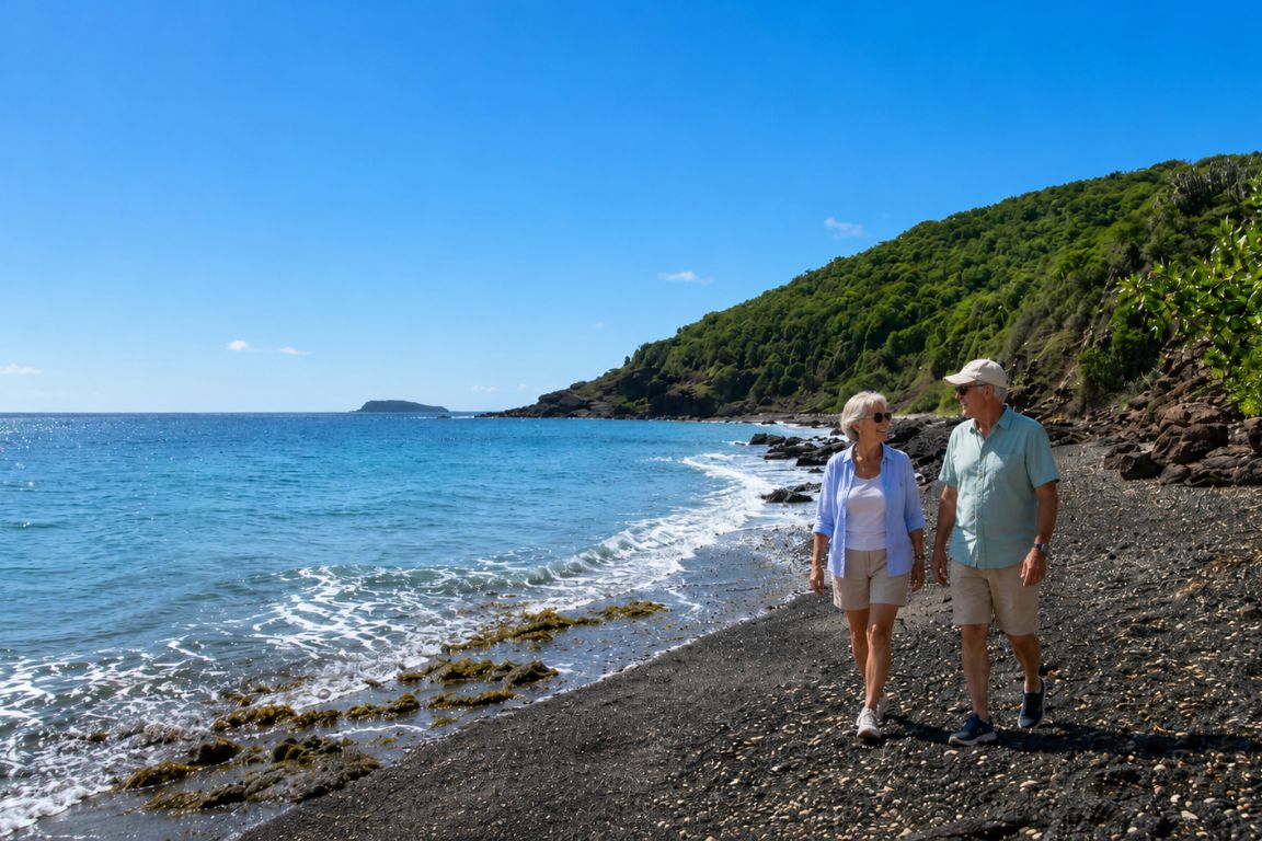
Punta Soldado is on Culebra’s southern tip, about a 20-minute drive from Dewey on an unpaved road that requires a Jeep. It is the most arid part of the island, with cacti replacing the green coastal vegetation of the north and west shores. The snorkeling is beginner-friendly with calm, clear water and reef reaching almost to the shore. The west-facing position delivers some of the best sunsets on the island. It is one of Culebra’s most consistent snorkeling sites for visitors who have already done Tamarindo and Carlos Rosario.
The drive to Punta Soldado passes through a strikingly different landscape from the rest of Culebra. The south coast receives less rainfall than the north and west, and the vegetation shifts from tropical scrub to dry coastal cactus and thorny brush. The views on the approach, looking south toward the open Caribbean, reveal the island’s different face. Most visitors have no idea this landscape exists on the same small island as Flamenco’s green hills.
At the beach, the snorkeling entry is immediately productive. The reef extends close to the shoreline, and the water on the south coast is typically calmer than the north-facing beaches because the prevailing Atlantic swell does not reach here. Enter from the central sandy section, walk left to the large boulder that sits in the middle of the beach, and begin snorkeling from there toward the left side for the best coral and fish density. Lobster, octopus, turtles, and reef fish are reported regularly. The right side of the beach offers a different reef character worth exploring on a second session.
The sunset view from Punta Soldado faces west and southwest, with the open Caribbean and the distant outline of St. Croix visible on clear evenings. For travelers staying overnight on Culebra, a Punta Soldado snorkel session in the afternoon followed by watching the sun drop into the Caribbean from that rocky south shore is a combination that does not appear in most Culebra itineraries and should.
Not sure which beaches have the best reef access versus which ones just look pretty from the shore? This breakdown on the best snorkeling beaches in Culebra tours tells you exactly where to get in the water.
Hidden Beach Comparison: Which One Is Right for You?
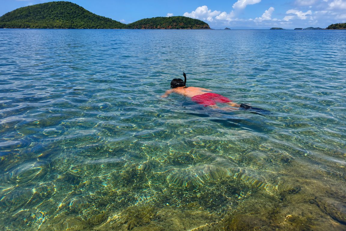 The right hidden beach depends on what you came for. Playa Resaca and Playa Brava reward adventure hikers who want complete isolation and do not mind that the water is not swimmable. Playa Datiles and Tamarindo Grande are the best options for hidden beach snorkeling in protected reserve water. Punta Soldado is the right pick for travelers who want good beginner snorkeling, south coast scenery, and the best sunset position on the island without a demanding hike.
One honest note: none of these beaches are appropriate for day trippers with limited time or travelers who are not comfortable with the physicality involved. Playa Resaca specifically is an experience that should not be attempted without preparation, proper footwear, and enough water. The reward is real. The risk of going underprepared is also real, and the island’s emergency services are limited.
Trying to build a beach itinerary that goes beyond just Flamenco? Here’s the best beaches in Culebra tours so you discover what the rest of the coastline has to offer.
| Playa Resaca | 5 – hardest hike on island | No. Dangerous currents. | No. Not suitable. | Extreme. Often zero others. | Jeep + hike |
| Playa Brava | 4 – moderate-difficult hike | Caution. Surf beach. | Limited. Strong current. | High. Rarely visited. | Jeep + hike |
| Playa Datiles | 2 – short walk or paddle | Yes. Calm sheltered cove. | Good. Reserve protected. | Very high. Few visitors know it. | Jeep or kayak |
| Tamarindo Grande | 2 – trail from Flamenco lot | Yes. Protected reserve water. | Good. Turtles, rays, sea fans. | High. Missed by most visitors. | Walk from Flamenco |
| Punta Soldado | 2 – rough road + short walk | Yes. Calm south coast water. | Very good. Reef to shore. | High. Far from main tourist areas. | Jeep required |
What Our Groups Say About Culebra’s Hidden Beaches
From over twelve years of guiding, the hidden beaches attract a specific type of visitor: one who has been to Flamenco at least once and is looking for something beyond the main circuit.
| Tamarindo Grande | 31% | 52% | “Had no idea this existed. Empty and beautiful.” |
| Punta Soldado | 28% | 61% | “Best snorkeling I found without a guide. The cacti threw me off.” |
| Playa Brava | 19% | 74% | “Worth the hike completely. We were alone for four hours.” |
| Playa Datiles | 14% | 68% | “Found it by kayak. Paddled in and had the whole cove.” |
| Playa Resaca | 9% | 81% | “The hardest thing I did on the trip and the best. Saw nobody.” |
What Do You Need to Visit Culebra’s Hidden Beaches?
 A Jeep rental for anything beyond Tamarindo Grande (reachable from Flamenco on foot) or Datiles by kayak. Closed shoes with grip for any hike, not sandals or flip-flops. Two liters of water per person minimum for the Resaca and Brava hikes. Reef-safe mineral sunscreen for any beach with snorkeling. All your own food, since none of these beaches have any food service. A fully charged phone and the offline trail map downloaded before you leave Dewey, where the last reliable cell signal is.
The Jeep question is decisive for four of the five beaches here. Golf carts are prohibited from the unpaved roads leading to Punta Soldado and the approaches to Playa Resaca and Playa Brava. Most rental companies also prohibit golf carts from the road to Zoni Beach. A Jeep rental (about $50 to $71 per day) unlocks the entire island. For any trip longer than one night where you want to see more than Flamenco and Tamarindo, the Jeep is the right vehicle from day one.
Turtle nesting season matters for Brava and Resaca. Both beaches are nesting sites for leatherback and hawksbill sea turtles between April and June. During peak nesting periods, access may be restricted or monitored. Respect any cordoned areas, do not visit at night during nesting season, and follow the guidance of any Fish and Wildlife Service volunteers present at the trailhead.
The hidden beaches are wilderness by Culebra’s standards. There are no lifeguards, no rescue infrastructure, and cell service is spotty to nonexistent at most of these sites. The appropriate response to this is not to avoid them but to prepare properly: solid shoes, adequate water, a downloaded map, and realistic assessment of your fitness level before committing to the Resaca hike’s 550 feet of vertical descent and return ascent.
We’ve got a full breakdown on how to visit Culebra tours if you want to know exactly what to book, how to get around the island, and how much time you actually need.
Frequently Asked Questions
What is the most secluded beach in Culebra?
Playa Resaca, reached by a 40-minute hike through the Resaca Boulder Forest on Monte Resaca. It is unsafe for swimming, but visitors regularly report spending hours there without seeing another person. The difficulty of access keeps the crowd level at near zero even on peak season days.
Can you swim at Playa Brava and Playa Resaca?
Not safely. Both beaches face the open Atlantic with strong currents and no reef protection. Playa Resaca is explicitly unsafe for swimming due to undertow. Playa Brava can be swimmable in calm summer conditions but should be treated as a surf beach where caution governs every decision to enter the water.
How is Tamarindo Grande different from Tamarindo Beach?
They are adjacent but separate bays on either side of Punta Tamarindo. Tamarindo Beach (south bay) is the well-known turtle snorkeling beach. Tamarindo Grande (north bay) is less visited, also within the Luis Peña Channel Natural Reserve, with similar snorkeling quality and considerably fewer visitors. The trail from Flamenco’s parking lot passes Tamarindo Grande before reaching Carlos Rosario.
Do you need a guide to visit Culebra’s hidden beaches?
No, but for Playa Resaca specifically, recent trail conditions should be checked locally before attempting. The trail is poorly marked and conditions after heavy rain make it significantly more difficult. For Datiles and Tamarindo Grande, a local guide saves navigation time. For Punta Soldado and Playa Brava, the access is straightforward enough with a Jeep and a downloaded offline map.
When should you avoid Playa Brava and Playa Resaca?
During turtle nesting season from April through June, when both beaches may have access restrictions or monitoring in place. Also after heavy rainfall when the trails become slippery and dangerous. Check locally in Dewey before heading out; the Fish and Wildlife Service office near the airport has current access information.
Written by Camila Elena Ramirez
Puerto Rican tour guide since 2014 · Founder, Culebra Tours
Camila has guided over 15,400 travelers through Culebra and the Spanish Virgin Islands since founding the agency.